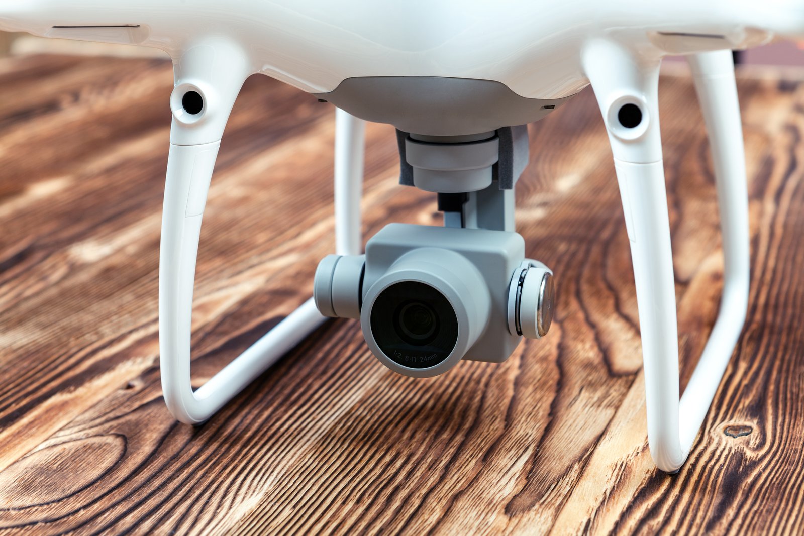
Drone photography for sustainability projects offers organisations a way to document environmental work from perspectives that are difficult to capture at ground level. Aerial photographs and videos can reveal the scale of restoration activities, changes in land use, infrastructure development and community participation.
From conservation programmes to renewable energy installations, drones can help communicate the progress and practical challenges of sustainability initiatives. However, compelling aerial images do not automatically prove environmental improvement. Visual evidence is most useful when accompanied by reliable measurements, appropriate context and transparent reporting.
Responsible drone operations are equally important. Flights should comply with applicable aviation rules, respect privacy and avoid disturbing wildlife or sensitive habitats. With these considerations in place, here are seven ways to use drone photography to showcase sustainability projects effectively.
1. Capture Before-and-After Images of Sustainability Projects
Before-and-after drone photography can provide a visual record of changes at a project site. This approach is particularly useful for habitat restoration, landscape rehabilitation, waste removal, erosion control and improvements to public spaces.
For example, an organisation restoring a degraded landscape could photograph the area before work begins and return at defined intervals to document changes in vegetation cover and site conditions. Using consistent camera angles, flight heights and seasonal timing makes comparisons more meaningful.
Photographs should be labelled with dates and relevant project information. Changes in lighting, rainfall or seasonal vegetation can create misleading impressions if images are presented without context. Where possible, supplement visual comparisons with measurements such as vegetation surveys, waste quantities or other project-specific indicators.
2. Document the Environmental Impact of Projects
Aerial photography can help organisations observe and communicate physical changes associated with sustainability initiatives. It can reveal patterns that may be difficult to recognise from ground-level photographs, including changes in land cover, drainage systems and the distribution of vegetation.
A coastal restoration project, for instance, could use drone imagery to document the extent of planting activities, visible erosion patterns or changes in the condition of a restoration site. These images can help explain the work to community members, project partners and supporters.
However, a visually greener landscape does not necessarily demonstrate improved biodiversity or ecological health. Environmental outcomes require suitable monitoring methods and reliable data. Drone photographs should therefore support, rather than replace, ecological assessments and other evidence of project performance.
3. Showcase Sustainable Features of Your Business
Drone photography can help businesses communicate how sustainability-related infrastructure fits into their wider operations. Aerial views are particularly effective for showing large installations, site layouts and systems that cannot easily be photographed from one position on the ground.
For example, a manufacturing facility could use drone imagery to show rooftop solar panels, rainwater collection infrastructure, landscaped areas or designated waste-management facilities. A renewable energy project could use aerial footage to explain the layout and scale of its installation.
Visual features should be accompanied by accurate information about their purpose and performance. Showing solar panels does not establish how much electricity they generate, just as photographing a recycling facility does not prove material recovery rates. Include relevant operational data where available and avoid implying that one initiative makes an entire business sustainable.
4. Monitor and Communicate Project Progress
Regular drone photography can create a structured visual record of a sustainability project’s development. This is valuable for initiatives involving several implementation stages, large sites or activities that are difficult to observe from a single ground-level location.
Project managers could use scheduled aerial photographs to document the installation of renewable energy infrastructure, the development of water-management systems or progress in landscape restoration. Images captured at agreed milestones can support internal reviews and communication with funders or other stakeholders.
To maintain consistency, establish a repeatable documentation process with clear dates, locations and photographic parameters. Store images securely and identify any changes in flight conditions that affect comparisons. Progress photographs should distinguish completed work from planned activities and should not be presented as proof of outcomes that have not yet been measured.
5. Create Virtual Tours of Sustainability Projects
Drone photographs and videos can be used to create virtual tours that help audiences understand the layout, scale and purpose of sustainability initiatives. These tours are particularly useful when physical access is limited by distance, safety requirements or operational restrictions.
A virtual tour of a renewable energy facility, for example, could guide viewers through the site’s main components using aerial footage, explanatory captions and selected ground-level images. A restoration project could use a similar approach to explain different activity zones without requiring visitors to enter sensitive areas.
Virtual tours should be designed around information rather than visual spectacle alone. Clearly identify the areas being shown and explain their relevance to the project. Avoid publishing sensitive locations, protected wildlife nesting sites or operational details that could create security or conservation risks.
6. Strengthen Social Media Storytelling
Aerial photographs, short videos and carefully produced time-lapse sequences can make sustainability projects easier to understand on social media. They can provide visual context for activities that are otherwise difficult to communicate in a single post.
An organisation undertaking riverbank restoration could publish a series showing site preparation, planting activities and subsequent monitoring. Each post could explain a different stage of the work, helping followers understand the time and effort involved rather than presenting the initiative as an instant transformation.
Keep captions specific and avoid exaggerated environmental claims. Identify when footage was recorded and explain whether images show completed activities, work in progress or proposed changes. If AI-generated visualisations are included, distinguish them clearly from actual drone footage so audiences are not misled about project conditions.
7. Show Community Participation and Project Activities
Drone photography can document how people participate in sustainability initiatives, particularly when activities take place across large or difficult-to-access locations. Aerial views can reveal the scale of organised efforts and how different teams work together.
For example, footage of a community planting event could show the arrangement of planting zones, the movement of volunteers and the overall organisation of the activity. Similar approaches may help document beach clean-ups, environmental education events or coordinated restoration work.
Privacy and safety must remain priorities. Obtain appropriate permissions before filming identifiable individuals, avoid unnecessary surveillance and ensure that drone operations do not create risks for participants. In wildlife habitats or protected areas, the need to capture footage should never take precedence over ecological safeguards or applicable restrictions.
Planning Responsible Drone Photography for Sustainability Projects
Effective drone documentation begins before the aircraft takes off. Organisations should identify what they need to communicate, which locations require coverage and whether aerial photography is appropriate for the site.
Flight planning should account for airspace restrictions, local aviation requirements, weather conditions, privacy and environmental sensitivity. In India, operators should check applicable Directorate General of Civil Aviation requirements and Digital Sky airspace information, alongside any additional permissions required for protected or restricted locations.
It is also worth considering whether a drone is necessary for every task. Ground photography, satellite imagery or existing monitoring data may sometimes provide the required information with less disturbance, lower cost or reduced operational complexity.
Turning Aerial Images Into Credible Sustainability Communication
The strongest drone photography projects combine visual documentation with accurate explanations. Images should answer a specific question, such as what has changed, how an initiative is progressing or why a particular intervention was undertaken.
Organisations can improve credibility by maintaining records of capture dates, locations, project milestones and relevant measurements. This helps ensure that images remain useful for reporting and comparison rather than becoming disconnected promotional material.
Aerial imagery also needs careful interpretation. Camera perspective, image processing, seasonal conditions and selective framing can influence how viewers understand a landscape. Clear captions and supporting evidence help prevent visual storytelling from becoming misleading.
Conclusion
Drone photography offers useful opportunities to document and communicate sustainability projects. It can reveal the scale of environmental work, illustrate operational changes and make complex initiatives more accessible to different audiences.
Its value, however, depends on responsible use. Organisations should follow applicable regulations, protect sensitive environments and ensure that photographs are presented with sufficient context and supporting information.
When drone photography is planned carefully and combined with credible environmental data, it becomes more than an attention-grabbing visual technique. It can support transparent reporting, public understanding and more informed engagement with sustainability initiatives.