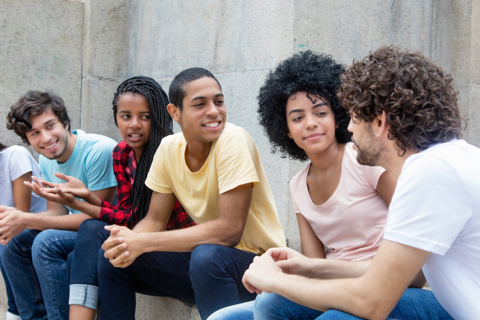
Youth participation in digital humanitarian mapping offers young people an opportunity to contribute to geographic information projects that support communities, humanitarian organisations and sustainable development.
Through collaborative platforms such as OpenStreetMap and initiatives including UN Mappers, volunteers can develop mapping skills and contribute geographic data that may support planning and field operations.
Digital media can help young people discover these opportunities, share educational resources and organise collaborative activities. However, meaningful contributions require accurate information, appropriate training and an understanding of how humanitarian mapping projects operate.
Understanding UN Mappers
UN Mappers is an initiative that supports the creation and improvement of geographic information relevant to United Nations operational needs.
The initiative provides opportunities for contributors to participate in mapping activities and develop skills through its learning resources.
However, volunteering through a mapping initiative does not make participants official UN representatives. Contributors should follow published project instructions and avoid presenting independent activities as UN-endorsed.
1. Use Social Media to Introduce Humanitarian Mapping
Young people can use Instagram, Facebook, LinkedIn and other platforms to explain how geographic information supports humanitarian work.
Posts can introduce OpenStreetMap, share official learning resources and demonstrate how volunteers contribute to mapping projects.
However, awareness content should accurately describe the initiative and avoid suggesting that individual map edits directly produce peace or measurable humanitarian outcomes without supporting evidence.
2. Create Educational Video Content
Short videos can introduce basic mapping concepts, demonstrate platform navigation and explain how contributors can begin learning.
For example, a video might show how roads and buildings are represented on OpenStreetMap or explain why geographic data needs validation.
Use accurate examples and respect platform guidelines. Avoid sharing sensitive operational information, unverified disaster reports or personal details about vulnerable communities.
3. Organise Online Mapping Awareness Campaigns
Digital campaigns can encourage students and young professionals to explore humanitarian mapping opportunities.
Campaign objectives might include completing introductory training, attending a mapping workshop or contributing to an appropriate open mapping project.
Focus on participation quality rather than follower counts. Fundraising or activities presented as official UN campaigns should only be undertaken with the necessary permissions and authorisation.
4. Collaborate With Digital Creators
Educational creators, geography enthusiasts and technology communicators can help introduce mapping to audiences unfamiliar with geographic information systems.
Partnerships might involve tutorials, interviews with experienced contributors or demonstrations of open mapping tools.
Choose collaborators who can communicate the subject accurately. Reach and popularity are less important than technical credibility and responsible presentation.
5. Publish Blogs and Student Articles
School newsletters, university publications and personal blogs can provide space for more detailed explanations of humanitarian mapping.
Young contributors can document what they learned during training, explain common mapping challenges or discuss the importance of reliable geographic information.
Where examples involve humanitarian operations, use information that is publicly available and appropriately attributed. Avoid presenting assumptions about operational impact as established facts.
6. Participate in Online Mapping Communities
Open mapping communities provide opportunities to learn from experienced contributors, ask technical questions and understand established mapping practices.
Students can participate in relevant discussions, attend community events and contribute to projects suited to their experience.
However, mapping should follow local conventions and project instructions. Large numbers of unreviewed edits can create additional work for experienced contributors and reduce data quality.
7. Host Virtual Workshops and Mapathons
Schools, colleges and youth organisations can organise introductory mapping workshops using publicly available training resources.
A mapathon brings contributors together to work on defined mapping tasks, often with guidance from experienced volunteers.
Independent organisers should describe their events accurately and obtain permission before using official organisational branding or claiming a formal partnership with the United Nations.
8. Connect Schools and Universities
Educational institutions can introduce collaborative mapping through geography, environmental studies, technology and community engagement programmes.
Students may develop skills in spatial analysis, data interpretation and digital collaboration while learning how geographic information supports public-interest initiatives.
Institutions should provide appropriate supervision, especially when participants are minors, and ensure that mapping activities follow relevant privacy, safety and data-quality requirements.
9. Use Visual Storytelling to Explain Mapping
Infographics, diagrams and interactive maps can help audiences understand how geographic information is collected, reviewed and used.
Young creators might illustrate the difference between satellite imagery and mapped geographic features or explain the importance of accurate road and building data.
Visual storytelling should prioritise clarity over dramatic claims. Maps can be persuasive, but incomplete or outdated geographic information may create misleading impressions.
10. Encourage Training and Skill Development
Young people interested in humanitarian mapping should begin with structured learning rather than immediately contributing large amounts of data.
The UN Mappers Learning Hub provides resources relevant to its mapping activities. OpenStreetMap communities and humanitarian mapping organisations also offer educational materials.
Training can improve understanding of mapping conventions, quality assurance and responsible data handling. However, completing a course should not be described as professional certification unless the programme explicitly awards a recognised credential.
Responsible Participation in Humanitarian Mapping
Prioritise Data Accuracy
Incorrect roads, building locations or geographic classifications can reduce the usefulness of mapping datasets.
New contributors should begin with suitable tasks, follow established instructions and seek feedback from experienced reviewers.
Respect Privacy and Safety
Geographic information may involve sensitive locations, particularly in conflict-affected regions or areas experiencing humanitarian emergencies.
Participants should avoid publishing personal information or operational details that could place individuals and communities at risk.
Understand the Limits of Digital Volunteering
Mapping can support geographic information availability, but it does not independently resolve humanitarian challenges.
The usefulness of contributed data depends on project priorities, validation, accessibility and whether relevant organisations can apply it effectively.
Conclusion
Youth participation in digital humanitarian mapping can provide valuable opportunities to develop technical skills, collaborate across communities and contribute to public-interest geographic information.
Social media, educational videos, online workshops and student networks can help introduce more young people to initiatives such as UN Mappers.
The strongest contribution comes from informed participation, accurate mapping and respect for the communities represented in geographic data. Digital collaboration can support humanitarian efforts when enthusiasm is matched by responsibility and practical skills.
Explore the official resources: